
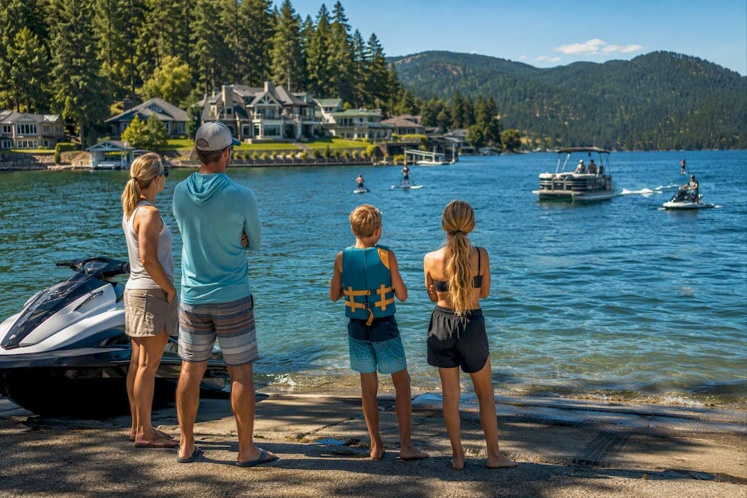
Before you untie a single line, check the National Weather Service marine forecast, look at the nearest buoy readings, and tune into NOAA Weather Radio. If any advisory or warning is active, or if winds and seas run past conservative small-boat limits, postpone the trip. These three sources, used together, tell you far more than a phone app's five-day icon ever will.
TL;DR:
- Use official National Weather Service forecasts, buoy reports, and NOAA Weather Radio together to assess real-time marine conditions effectively.
- Be cautious with wind spreads, wave period, and significant wave height, especially when gusts exceed sustained wind by 10 knots or more.
- Avoid boating during active advisories or warnings, such as Small Craft Advisories, Gale Warnings, or Storm Warnings, which indicate hazardous conditions for small vessels.
- Check conditions the night before and 30 minutes prior to launching, and listen continuously while on the water for updates and warnings.
- When conditions deteriorate suddenly, head for shelter immediately, and use onboard safety equipment like life jackets, GPS, and radios to stay safe.
Table of Contents
- Where to get reliable boating forecasts and real-time observations
- How to read wind, seas, swell, and wave period
- Advisories, warnings, and marine watches explained
- Pre-departure checklist and Go/No-Go thresholds
- What to do when conditions turn fast
- How rental operators and renters put this into practice
- Another option: prepare safely with a local rental
- Author perspective: safety-first habits from a rental operator
- Sources
- FAQ
Where to get reliable boating forecasts and real-time observations
Most boating accidents tied to weather come down to one thing: someone trusted a single source, or no source at all. The fix is straightforward. Use official government forecasts for the broad picture, then confirm with real-time observations for what is actually happening right now.
The National Weather Service issues marine forecasts for coastal and inland zones, updating them at least four times a day. These forecasts break the water into zones and give wind direction and speed, wave height, and a plain-language summary of expected conditions over the coming hours and days. They are free, public, and built specifically for people on the water, not general audiences checking whether to grab an umbrella.
Zone forecasts are useful, but they cover a lot of water. A forecast for a whole bay or a long stretch of lake shoreline can smooth over local differences: a point jutting into the wind, a narrows that funnels gusts, a shallow flat that stacks up waves faster than open water. That is where buoy data comes in.
The National Data Buoy Center maintains a network of stations that report live conditions, and NDBC forecast and buoy pages show sustained wind speed, gust speed, significant wave height, and dominant wave period, usually updated every hour. Comparing a buoy reading against the forecast tells you whether conditions are tracking as expected or shifting faster than predicted. If the forecast called for 10 to 15 knots and the nearest buoy is already showing 20 with higher gusts, that is your answer before you even leave the dock.
NOAA Weather Radio fills the gap once you are underway. It broadcasts continuous forecasts, observations, and warnings on dedicated frequencies, and most VHF marine radios include the WX channels needed to receive it. Unlike a phone app, it does not depend on cell signal, which matters the moment you are more than a mile or two from shore.
Weather apps have a place in this routine, but treat them as a convenience layer, not a primary source. Many pull from the same government data feeds and repackage them with friendlier graphics, which is fine, but some smooth out gusts, round wave heights, or lag behind real-time buoy updates. A few points to keep in mind when using them:
- Check the app's data source and update frequency before trusting it for a launch decision.
- Cross-reference any app forecast against the NWS marine page or a nearby buoy reading.
- Treat sudden changes in an app's forecast as a prompt to check the primary source directly, not as the final word.
Using these three resources together, official forecast, live buoy data, and continuous radio updates, gives you a fuller picture than any single tool can. It also builds a habit: check before you leave, check again once you are close to launch, and keep listening while you are out.
How to read wind, seas, swell, and wave period
Forecast numbers only help if you know what they mean for handling a small boat or jet ski. A few terms do most of the work here, and mixing them up leads to bad decisions.
Sustained wind versus gusts is the first distinction. Sustained wind is the steady speed over a period of time, while gusts are short spikes above that baseline. A forecast reading "15 knots, gusts to 25" means you should plan for the gusts, not the average, especially on an open boat or a jet ski where a sudden 10-knot jump can catch you off balance or push you into a wake or shoreline faster than expected. A wide gap between sustained wind and gust speed is itself a warning sign: it usually means unstable air and a rougher ride than the sustained number suggests.
Next comes the trio that confuses a lot of new boaters: seas, swell, and significant wave height. Seas refers to the combined wave activity in the immediate area, driven by local wind. Swell is longer, more organized wave motion that traveled in from a distant weather system, often smooth and rolling. Significant wave height, the number you will see in every marine forecast, is not the biggest wave you will encounter. According to NOAA's safe boating guidance, it represents the average height of the highest one-third of waves in a given period, meaning individual waves can run noticeably taller than the forecast number.
Statistic: A forecast of 2 to 3 foot seas is an average of the highest third of waves, which means some individual waves in that same period will be taller, sometimes well beyond the stated range. That gap between the forecast number and what you actually feel is the single biggest reason boaters get caught off guard by "moderate" conditions.

Wave period, sometimes called wave interval, measures the time between wave crests, and it changes the character of a sea state as much as height does. A short period, say 3 to 4 seconds, packs waves close together and produces a choppy, jarring ride even at modest heights. A longer period, 8 seconds or more, spreads waves out and creates a gentler, more rideable swell even when the height number looks similar. Two forecasts both showing 3-foot seas can feel completely different depending on the period behind them.
A few practical rules to apply when reading these numbers together:
- Short period plus moderate height is more dangerous than long period plus the same height; treat a 3-foot sea at 4 seconds with far more caution than 3 feet at 9 seconds.
- Widen your safety margin whenever gusts run 10 knots or more above sustained wind.
- Reduce speed and adjust your heading (quartering into waves rather than taking them broadside) once seas exceed what your boat handles comfortably at a normal cruising speed.
- Recheck the forecast and nearest buoy reading if you notice conditions building faster than predicted, since local wind can outpace a broad zone forecast.
None of this requires a meteorology background. It requires reading past the single number on the screen and asking what is generating it, wind or swell, short period or long, steady or gusty, and adjusting your plan accordingly.
Advisories, warnings, and marine watches explained
The National Weather Service issues a handful of marine products that translate raw numbers into a clear signal: proceed with caution, or do not go out at all. Knowing what each one means removes the guesswork.
A Small Craft Advisory is the one recreational boaters see most often. It is issued when sustained winds, gusts, or seas reach a level that becomes hazardous to smaller vessels, and the sample NWS advisory text shows a typical example: winds of 15 to 25 knots with gusts to 30, and waves running 5 to 8 feet. The advisory language specifically calls out inexperienced mariners and recommends they avoid the water entirely. For anyone in a jet ski, an open bow boat, or a small pontoon, this is a firm no-go, even though larger, well-equipped vessels sometimes operate through it.
A Gale Warning signals sustained winds of 34 to 47 knots, well beyond anything a recreational boat should face, and a Storm Warning means sustained winds of 48 knots or higher. Both carry seas to match. Neither is a judgment call. These are conditions where even experienced crews on capable vessels choose to stay in port, and a rental boat or personal watercraft has no business being anywhere near open water when either is in effect.
A Special Marine Warning covers something different: sudden, short-fused, often localized hazards like squalls, waterspouts, or severe thunderstorm outflow that can hit with little notice. Unlike a Small Craft Advisory, which usually covers a broader forecast period, a Special Marine Warning means a specific, immediate threat is developing or already underway, and the right response is to get to shelter, not to wait it out.
A few practical points on how to treat these products:
- Zonal advisories cover a wide stretch of water, so confirm what is actually happening near you with a nearby buoy or visible shoreline observation before assuming the advisory understates or overstates local conditions.
- Never treat "no advisory" as a guarantee of calm water. Conditions can develop between forecast updates, which is why checking buoy trends matters even on a clear-looking day.
- When in doubt about a marginal call, especially with kids or inexperienced passengers aboard, default to the more conservative interpretation.
Pre-departure checklist and Go/No-Go thresholds
A short checklist done every time beats a thorough one done occasionally. Run through this before you leave the dock:
- Pull the latest marine forecast from the NWS marine page for your zone and note the forecast period, not just the current conditions.
- Check the nearest buoy or shore station reading and compare it against the forecast to see if conditions are tracking as expected.
- Turn on your VHF radio and confirm it is receiving the NOAA Weather Radio broadcast for your area.
- Confirm life jackets are aboard, correctly sized, and accessible, not buried under coolers or gear.
- File a float plan with someone on shore, including where you are going and when you expect to be back. Our pre-departure checklist for jet ski renters covers this in more detail.
- Check fuel level and add a reserve beyond what you think you need for the planned distance.
- Pack sun and water protection, since conditions that start comfortable can turn punishing over a full afternoon.
For recreational craft, a conservative set of numeric thresholds helps take the emotion out of the decision. Sustained winds above 15 to 20 knots, or gusts more than 10 knots above the sustained speed, are a signal to reconsider for an open boat or jet ski. Seas above 2 to 3 feet combined with a short wave period, under 4 seconds, tend to produce a rough, tiring ride for smaller vessels even though the height alone sounds moderate. Treat any of these as a prompt to scale back the plan rather than push through it.
Tides and currents deserve their own check, especially near inlets, narrow channels, or river mouths. An outgoing tide running against an onshore wind can stack up steep, closely spaced waves in a space that looked calm an hour earlier. If your route passes through one of these pinch points, time your transit around slack tide when possible, or choose a sheltered alternative.
Pro Tip: Check the forecast the night before and again 30 minutes before you launch. Conditions that looked fine at breakfast can shift by early afternoon, especially in summer.
When the numbers sit right at the edge of your comfort range, choose the sheltered route, shorten the trip, or reschedule. There is rarely a good reason to test a marginal call against open water.
What to do when conditions turn fast
Even a clean forecast can go sideways. Knowing the warning signs and having a short list of immediate actions ready matters more than any amount of pre-trip planning once you are already on the water.
Squalls and thunderstorms often announce themselves before they arrive: a sudden drop in temperature, a shift in wind direction, darkening skies to one side of the horizon, or a visible wall of rain approaching across the water. The NWS guidance on hazardous marine conditions notes that these systems can develop and intensify quickly, bringing sudden wind spikes, hail, and even waterspouts with little warning.
If you spot these signs, act immediately:
- Head for the nearest safe shelter, a marina, cove, or protected shoreline, rather than trying to outrun the storm across open water.
- If caught in open water before you can reach shelter, point the bow into oncoming waves at a slight angle rather than taking them broadside.
- Get everyone into a life jacket now, not after conditions worsen.
- Use your VHF radio, including DSC distress calling if equipped, if you need assistance or want to alert others nearby.
Fog calls for a different response. Slow down immediately, turn on your navigation lights even in daylight, and sound the appropriate signal at regular intervals. If you have GPS or radar aboard, use it to hold your course and avoid other traffic, and if visibility drops to near zero, consider anchoring in a safe location rather than continuing to navigate blind.
If you experience engine failure or take on water, deploy a sea anchor if you carry one to keep the bow oriented into waves and reduce drift, then call for help on the VHF and give your position. In many cases, staying with a swamped or disabled boat is safer than attempting to swim for shore, since a boat is far easier for rescuers to spot than a person in the water.
How rental operators and renters put this into practice
Rental operations live or die by weather judgment, and that shapes how briefings work in practice. Before handing over a jet ski or boat, a responsible operator checks the same sources covered above: current forecast, nearby buoy trends, and any active advisories, then applies a threshold more conservative than the bare minimum, because renters are often less experienced with reading conditions on the fly than owners who have logged years on the same water.
At check-in, renters should confirm a few specifics rather than assume they are covered: that life jackets fit everyone in the group, that a VHF radio or other communication method is aboard and working, that a float plan or expected return time has been noted, and that the operator has flagged any local advisories or hazards specific to that day. Our guide on multi-day boat rental preparation covers gear checks in more depth for longer outings.

For families and first-time renters, the safest pattern is usually the simplest: launch during calmer morning or early afternoon hours before typical afternoon wind builds, keep trips shorter than you might otherwise plan, and stay closer to shore until everyone aboard has a feel for how the boat handles in the day's actual conditions. Our first-timer's lake rental guide walks through more of these habits for anyone renting for the first time.
Another option: prepare safely with a local rental
Reading forecasts and buoy data is a skill, and it takes some of the guesswork off your plate when someone with local knowledge is doing part of that work alongside you. A local rental company offers a range of watercraft including jet skis, boats, pontoon boats, paddleboards, and water toys, providing safety equipment and monitoring local lake conditions before rentals.
That local familiarity matters more than it might seem. A team that watches the same stretch of water day after day tends to notice how afternoon wind builds on a particular lake, or which coves stay calmer when conditions turn, in a way a generic forecast for the region cannot capture. Combining well-maintained equipment and flexible rental periods with local expertise provides a more convenient path to a safe outing than assembling gear and making judgment calls independently.
If you would rather have that support built in, check availability for a jet ski rental at Liberty Lake or a jet ski rental at Newman Lake, or browse boat, paddleboard, and water toy rentals to find the right fit for your day on the water.
Author perspective: safety-first habits from a rental operator
Working around rentals day after day teaches you that the boaters who never have a bad weather story are the ones who check forecasts and buoy data as a habit, not just when the sky already looks questionable. A Small Craft Advisory or a gusty buoy reading is not a suggestion to be extra careful. It is a clear signal to wait. Filing a float plan and checking conditions again right before you launch costs a few minutes and removes most of the guesswork that leads to bad outcomes on the water.
— Life is better on water.
Sources
A short list of trusted pages covers most of what you need before any trip:
- NOAA NWS Marine Weather Services
- Sample NWS Small Craft Advisory text
- NOAA / NDBC forecast data and buoy context
Bookmark the forecast and buoy pages specifically, not just a general weather site, since the marine-specific data is what actually applies to conditions on the water.
FAQ
How can you tell if the weather is good for boating?
Good boating weather means no active advisories or warnings, sustained winds generally under 15 to 20 knots, and manageable seas with a longer wave period rather than short, choppy conditions. Check the NWS marine forecast and a nearby buoy reading together, since local conditions can differ from the broader zone forecast.
Is 2 to 3 foot seas rough for a small boat?
It depends heavily on wave period: 2 to 3 foot seas at a long period can feel like a gentle roll, while the same height at a short period feels choppy and tiring. Since significant wave height is an average of the highest third of waves, some individual waves in that range will run taller than the forecast number.
How do you check the weather before going boating?
Start with the official NWS marine forecast for your zone, then compare it against the nearest NDBC buoy reading for real-time wind and wave data. NOAA Weather Radio on your VHF gives continuous updates once you are already on the water.
Is 10 mph wind bad for boating?
Ten mph, roughly 9 knots, is generally comfortable for most recreational boating and well below typical Small Craft Advisory thresholds. The bigger concern is the gust spread. If gusts run well above that sustained speed, plan for the gusts rather than the average when deciding how to handle the boat.
What does a Small Craft Advisory actually require you to do?
A Small Craft Advisory means winds, gusts, or seas have reached a level considered hazardous for smaller vessels, and example advisory text specifically recommends that inexperienced mariners avoid the water. For a jet ski, open boat, or pontoon, the safest response is to postpone the trip until the advisory lifts.